
Bicentennial Park topographic map
Interactive map
Click on the map to display elevation.
About this map
Name: Bicentennial Park topographic map, elevation, terrain.
Average elevation: 24 m
Minimum elevation: 5 m
Maximum elevation: 39 m
Other topographic maps
Click on a map to view its topography, its elevation and its terrain.
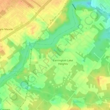
Farrington Lake Heights
United States > New Jersey > Middlesex County > East Brunswick Township > Farrington Lake Heights
Farrington Lake Heights, East Brunswick Township, Middlesex County, New Jersey, 08850, United States
Average elevation: 27 m