
Hüttendorf topographic map
Interactive map
Click on the map to display elevation.
About this map
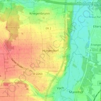
Name: Hüttendorf topographic map, elevation, terrain.
Location: Hüttendorf, Erlangen, Bayern, 91058, Deutschland (49.52166 10.94092 49.56166 10.98092)
Average elevation: 303 m
Minimum elevation: 272 m
Maximum elevation: 336 m
Other topographic maps
Click on a map to view its topography, its elevation and its terrain.
Tennenlohe
Deutschland > Bayern > Erlangen
Tennenlohe, Erlangen, Bayern, 91058, Deutschland
Average elevation: 301 m
Kriegenbrunn
Deutschland > Bayern > Erlangen
Kriegenbrunn, Erlangen, Bayern, 91056, Deutschland
Average elevation: 302 m
Frauenaurach
Deutschland > Bayern > Erlangen > Frauenaurach
Frauenaurach, Erlangen, Bayern, 91056, Deutschland
Average elevation: 295 m
Mohrbach
Deutschland > Bayern > Erlangen
Mohrbach, Erlangen, Mittelfranken, Bayern, 91093, Deutschland
Average elevation: 289 m