
Santo Amaro topographic map
Interactive map
Click on the map to display elevation.
About this map
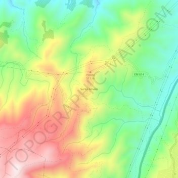
Name: Santo Amaro topographic map, elevation, terrain.
Average elevation: 371 m
Minimum elevation: 116 m
Maximum elevation: 704 m
Other topographic maps
Click on a map to view its topography, its elevation and its terrain.
Cedovim
Portugal > Guarda > Vila Nova de Foz Coa
Cedovim, Vila Nova de Foz Côa, Guarda, Portugal
Average elevation: 586 m