
Koya topographic map
Interactive map
Click on the map to display elevation.
About this map
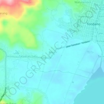
Name: Koya topographic map, elevation, terrain.
Location: Koya, North Sulawesi, Indonesia (1.27036 124.87497 1.31036 124.91497)
Average elevation: 703 m
Minimum elevation: 671 m
Maximum elevation: 859 m