
Ohio topographic map
Interactive map
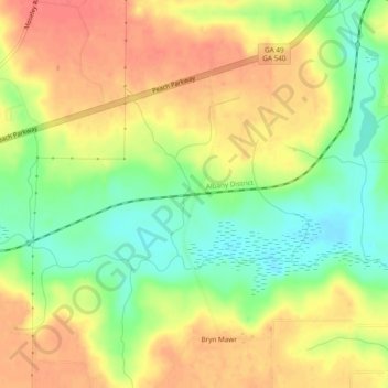
Click on the map to display elevation.
About this map
Name: Ohio topographic map, elevation, terrain.
Location: Ohio, Peach County, Georgia, United States (32.56292 -83.83574 32.60292 -83.79574)
Average elevation: 132 m
Minimum elevation: 100 m
Maximum elevation: 158 m