
郓城县 topographic map
Interactive map
Click on the map to display elevation.
About this map
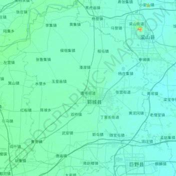
Name: 郓城县 topographic map, elevation, terrain.
Location: 郓城县, 菏泽市, 山东省, 中国 (35.35676 115.65380 35.87281 116.13069)
Average elevation: 45 m
Minimum elevation: 36 m
Maximum elevation: 182 m
Other topographic maps
Click on a map to view its topography, its elevation and its terrain.