
Thank you for supporting this site ❤️
Make a donation
Make a donation
Naylor topographic map
Click on the map to display elevation.
Thank you for supporting this site ❤️
Make a donation
Make a donation
About this map
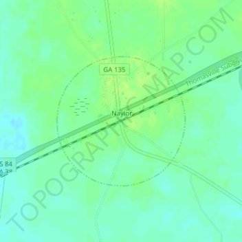
Name: Naylor topographic map, elevation, terrain.
Location: Naylor, Lowndes County, Georgia, United States (30.90229 -83.08750 30.91570 -83.06629)
Average elevation: 57 m
Minimum elevation: 50 m
Maximum elevation: 62 m
Thank you for supporting this site ❤️
Make a donation
Make a donation