
蔡庄村 topographic map
Interactive map
Click on the map to display elevation.
About this map
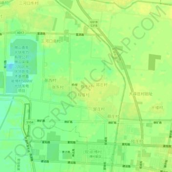
Name: 蔡庄村 topographic map, elevation, terrain.
Location: 蔡庄村, 济宁市, 山东省, 中国 (34.81918 117.07921 34.85918 117.11921)
Average elevation: 36 m
Minimum elevation: 25 m
Maximum elevation: 41 m
Other topographic maps
Click on a map to view its topography, its elevation and its terrain.