
Thank you for supporting this site ❤️
Make a donation
Make a donation
La Côte topographic map
Click on the map to display elevation.
Thank you for supporting this site ❤️
Make a donation
Make a donation
About this map
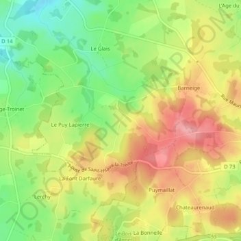
Name: La Côte topographic map, elevation, terrain.
Average elevation: 383 m
Minimum elevation: 329 m
Maximum elevation: 434 m
Thank you for supporting this site ❤️
Make a donation
Make a donation
Other topographic maps
Click on a map to view its topography, its elevation and its terrain.
Lotissement de la Parondelle
France > Nouvelle-Aquitaine > Creuse > La Souterraine
Average elevation: 381 m
Lotissement les Peupliers
France > Nouvelle-Aquitaine > Creuse > La Souterraine
Average elevation: 383 m
Thank you for supporting this site ❤️
Make a donation
Make a donation