
Thank you for supporting this site ❤️
Make a donation
Make a donation
Penrith topographic map
Click on the map to display elevation.
Thank you for supporting this site ❤️
Make a donation
Make a donation
About this map
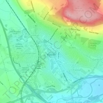
Name: Penrith topographic map, elevation, terrain.
Location: Penrith, Eden District, Cumbria, England, United Kingdom (54.65342 -2.77499 54.67625 -2.72425)
Average elevation: 163 m
Minimum elevation: 108 m
Maximum elevation: 281 m
Thank you for supporting this site ❤️
Make a donation
Make a donation