
湖头镇 topographic map
Interactive map
Click on the map to display elevation.
About this map
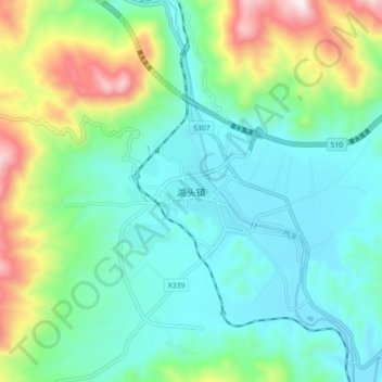
Name: 湖头镇 topographic map, elevation, terrain.
Location: 湖头镇, 安溪县, 泉州市, 福建省, 中国 (25.19595 117.99214 25.27595 118.07214)
Average elevation: 295 m
Minimum elevation: 82 m
Maximum elevation: 905 m
Other topographic maps
Click on a map to view its topography, its elevation and its terrain.