
清水河 topographic map
Interactive map
Click on the map to display elevation.
About this map
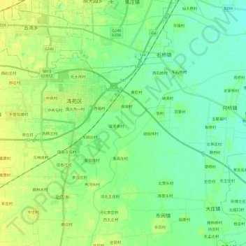
Name: 清水河 topographic map, elevation, terrain.
Location: 清水河, 清苑区, 保定市, 071100, 中国 (38.70015 115.42367 38.80125 115.64543)
Average elevation: 17 m
Minimum elevation: 9 m
Maximum elevation: 25 m