
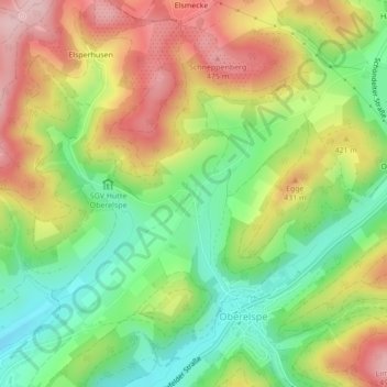
Altenvalbert topographic map
Interactive map
Click on the map to display elevation.
About this map
Name: Altenvalbert topographic map, elevation, terrain.
Location: Altenvalbert, Kreis Olpe, Nordrhein-Westfalen, Deutschland (51.16511 8.08175 51.16972 8.08722)
Average elevation: 376 m
Minimum elevation: 278 m
Maximum elevation: 490 m