
Hetian topographic map
Interactive map
Click on the map to display elevation.
About this map
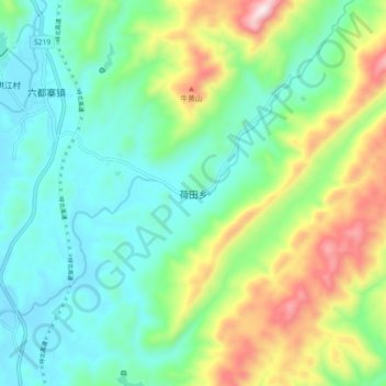
Name: Hetian topographic map, elevation, terrain.
Location: Hetian, Longhui County, Shaoyang City, Hunan, PRC (27.30262 110.92930 27.38262 111.00930)
Average elevation: 475 m
Minimum elevation: 281 m
Maximum elevation: 935 m