
Aguilares topographic map
Interactive map
Click on the map to display elevation.
About this map
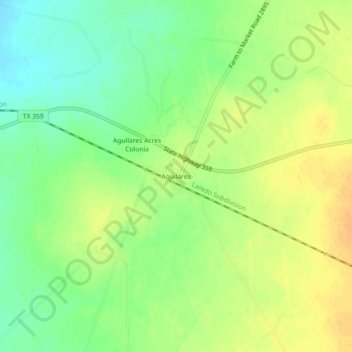
Name: Aguilares topographic map, elevation, terrain.
Location: Aguilares, Webb County, Texas, United States (27.42864 -99.10725 27.46864 -99.06725)
Average elevation: 181 m
Minimum elevation: 165 m
Maximum elevation: 195 m
Other topographic maps
Click on a map to view its topography, its elevation and its terrain.
Laredo
United States > Texas > Webb County
Laredo, Webb County, Texas, United States
Average elevation: 160 m
Laredo
United States > Texas > Webb County
Laredo, Webb County, Texas, United States
Average elevation: 160 m