
兴平市 topographic map
Interactive map
Click on the map to display elevation.
About this map
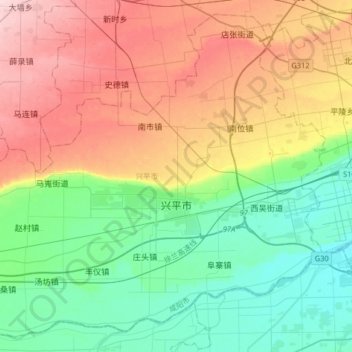
Name: 兴平市 topographic map, elevation, terrain.
Location: 兴平市, 咸阳市, Shaanxi, 713100, Cina (34.19817 108.29679 34.44421 108.62098)
Average elevation: 464 m
Minimum elevation: 386 m
Maximum elevation: 590 m
Other topographic maps
Click on a map to view its topography, its elevation and its terrain.