
石潭村 topographic map
Interactive map
Click on the map to display elevation.
About this map
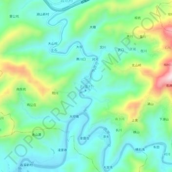
Name: 石潭村 topographic map, elevation, terrain.
Location: 石潭村, 黄山市, 安徽省, 中国 (29.91757 118.64410 29.95757 118.68410)
Average elevation: 240 m
Minimum elevation: 109 m
Maximum elevation: 587 m
Other topographic maps
Click on a map to view its topography, its elevation and its terrain.