
Thank you for supporting this site ❤️
Make a donation
Make a donation
机场 topographic map
Click on the map to display elevation.
Thank you for supporting this site ❤️
Make a donation
Make a donation
About this map
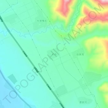
Name: 机场 topographic map, elevation, terrain.
Location: 机场, Xintian, Lintao County, Dingxi City, Gansu, China (35.54491 103.81591 35.58491 103.85591)
Average elevation: 1,913 m
Minimum elevation: 1,817 m
Maximum elevation: 2,208 m
Thank you for supporting this site ❤️
Make a donation
Make a donation