
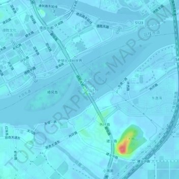
大汕村 topographic map
Interactive map
Click on the map to display elevation.
About this map
Name: 大汕村 topographic map, elevation, terrain.
Location: 大汕村, 佛山市, 广东省, 528300, 中国 (22.77156 113.28950 22.81156 113.32950)
Average elevation: 3 m
Minimum elevation: -9 m
Maximum elevation: 78 m
Other topographic maps
Click on a map to view its topography, its elevation and its terrain.