
Thank you for supporting this site ❤️
Make a donation
Make a donation
Lac Marcel topographic map
Click on the map to display elevation.
Thank you for supporting this site ❤️
Make a donation
Make a donation
About this map
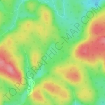
Name: Lac Marcel topographic map, elevation, terrain.
Location: Lac Marcel, Lac-Normand, Mékinac, Mauricie, Québec, Canada (47.38593 -73.82529 47.39048 -73.81964)
Average elevation: 455 m
Minimum elevation: 404 m
Maximum elevation: 510 m
Thank you for supporting this site ❤️
Make a donation
Make a donation
Other topographic maps
Click on a map to view its topography, its elevation and its terrain.