
Hirtle Lake topographic map
Interactive map
Click on the map to display elevation.
About this map
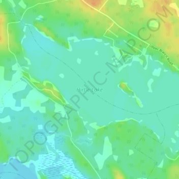
Name: Hirtle Lake topographic map, elevation, terrain.
Average elevation: 93 m
Minimum elevation: 82 m
Maximum elevation: 114 m
Other topographic maps
Click on a map to view its topography, its elevation and its terrain.
East Clifford
Canada > Nova Scotia > Lunenburg County > East Clifford
East Clifford, Municipality of the District of Lunenburg, Lunenburg County, Nova Scotia, Canada
Average elevation: 97 m