
Thank you for supporting this site ❤️
Make a donation
Make a donation
Löhrieth topographic map
Click on the map to display elevation.
Thank you for supporting this site ❤️
Make a donation
Make a donation
Löhrieth
Die etwa 300 Jahre alte Dorflinde, eine Winterlinde, hat einen Umfang von 5,30 Meter, sie hat eine Höhe von 18 m erreicht (siehe Liste der Naturdenkmäler im Landkreis Rhön-Grabfeld).
Thank you for supporting this site ❤️
Make a donation
Make a donation
About this map
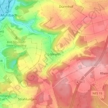
Name: Löhrieth topographic map, elevation, terrain.
Average elevation: 333 m
Minimum elevation: 227 m
Maximum elevation: 404 m
Thank you for supporting this site ❤️
Make a donation
Make a donation