
Las Pintas topographic map
Interactive map
Click on the map to display elevation.
About this map
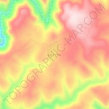
Name: Las Pintas topographic map, elevation, terrain.
Location: Las Pintas, San Dimas, Durango, México (24.24790 -105.59347 24.28790 -105.55347)
Average elevation: 2,451 m
Minimum elevation: 2,200 m
Maximum elevation: 2,589 m