
新开河 topographic map
Interactive map
Click on the map to display elevation.
About this map
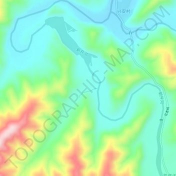
Name: 新开河 topographic map, elevation, terrain.
Location: 新开河, 集安市, 通化市, 吉林省, 中国 (41.25261 125.82052 41.28564 125.85860)
Average elevation: 436 m
Minimum elevation: 356 m
Maximum elevation: 630 m
Other topographic maps
Click on a map to view its topography, its elevation and its terrain.