
Mecheria topographic map
Interactive map
Click on the map to display elevation.
About this map
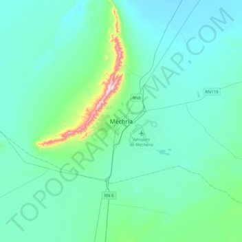
Name: Mecheria topographic map, elevation, terrain.
Location: Mecheria, daïra Mecheria, Naâma, 45102, Algérie (33.38284 -0.43505 33.70284 -0.11505)
Average elevation: 1,133 m
Minimum elevation: 1,054 m
Maximum elevation: 1,718 m