
Mezam topographic map
Interactive map
Click on the map to display elevation.
About this map
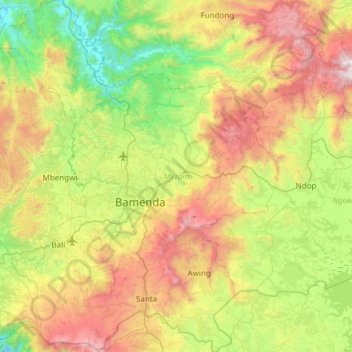
Name: Mezam topographic map, elevation, terrain.
Location: Mezam, Northwest, Cameroon (5.70440 9.90827 6.30531 10.38904)
Average elevation: 1,407 m
Minimum elevation: 531 m
Maximum elevation: 2,958 m
Other topographic maps
Click on a map to view its topography, its elevation and its terrain.