
Sinde topographic map
Interactive map
Click on the map to display elevation.
About this map
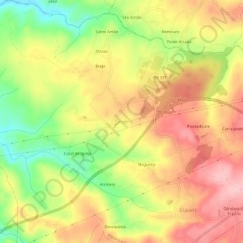
Name: Sinde topographic map, elevation, terrain.
Location: Sinde, Tábua, Coimbra, 3420-330, Portugal (40.30484 -8.06941 40.34484 -8.02941)
Average elevation: 265 m
Minimum elevation: 170 m
Maximum elevation: 341 m
Other topographic maps
Click on a map to view its topography, its elevation and its terrain.