
Grove topographic map
Interactive map
Click on the map to display elevation.
About this map
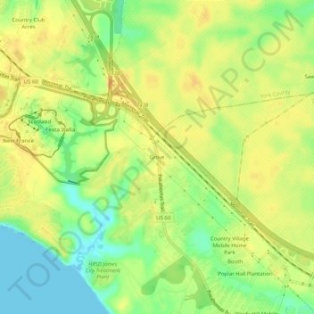
Name: Grove topographic map, elevation, terrain.
Location: Grove, James City County, Virginia, 23187, USA (37.20987 -76.64690 37.24987 -76.60690)
Average elevation: 22 m
Minimum elevation: -1 m
Maximum elevation: 38 m