
丛台区 topographic map
Interactive map
Click on the map to display elevation.
About this map
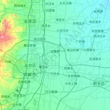
Name: 丛台区 topographic map, elevation, terrain.
Location: 丛台区, 邯郸市, 河北省, 056100, 中国 (36.57548 114.31374 36.72955 114.80860)
Average elevation: 64 m
Minimum elevation: 38 m
Maximum elevation: 297 m
Other topographic maps
Click on a map to view its topography, its elevation and its terrain.