
Ashland topographic map
Interactive map
Click on the map to display elevation.
About this map
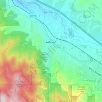
Name: Ashland topographic map, elevation, terrain.
Location: Ashland, Jackson County, Oregon, USA (42.16721 -122.73596 42.21606 -122.65106)
Average elevation: 774 m
Minimum elevation: 503 m
Maximum elevation: 1,477 m