
Thank you for supporting this site ❤️
Make a donation
Make a donation
Buck Lake topographic map
Click on the map to display elevation.
Thank you for supporting this site ❤️
Make a donation
Make a donation
About this map
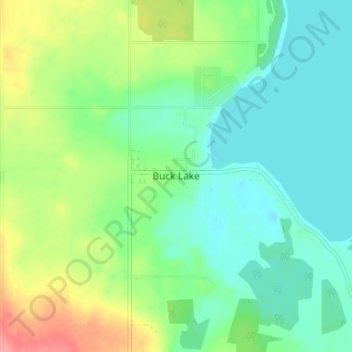
Name: Buck Lake topographic map, elevation, terrain.
Location: Buck Lake, County of Wetaskiwin, Alberta, T0C 0T0, Canada (52.93252 -114.81036 52.97252 -114.77036)
Average elevation: 901 m
Minimum elevation: 875 m
Maximum elevation: 957 m
Thank you for supporting this site ❤️
Make a donation
Make a donation