
Кочубеевка topographic map
Interactive map
Click on the map to display elevation.
About this map
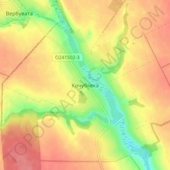
Name: Кочубеевка topographic map, elevation, terrain.
Location: Кочубеевка, Уманский район, Черкасская область, 20323, Украина (48.78385 30.10769 48.82385 30.14769)
Average elevation: 219 m
Minimum elevation: 178 m
Maximum elevation: 246 m