
Jiuliancheng topographic map
Interactive map
Click on the map to display elevation.
About this map
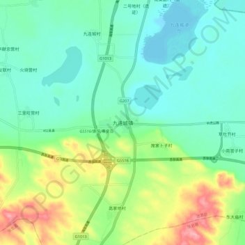
Name: Jiuliancheng topographic map, elevation, terrain.
Location: Jiuliancheng, Zhangjiakou, Hebei, China (41.52042 114.94791 41.60042 115.02791)
Average elevation: 1,388 m
Minimum elevation: 1,348 m
Maximum elevation: 1,487 m
Other topographic maps
Click on a map to view its topography, its elevation and its terrain.