
Albert County topographic map
Interactive map
Click on the map to display elevation.
About this map
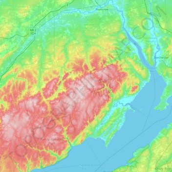
Name: Albert County topographic map, elevation, terrain.
Location: Albert County, New Brunswick, Canada (45.51329 -65.22316 46.09187 -64.54696)
Average elevation: 126 m
Minimum elevation: -1 m
Maximum elevation: 420 m
Other topographic maps
Click on a map to view its topography, its elevation and its terrain.