
六塆 topographic map
Interactive map
Click on the map to display elevation.
About this map
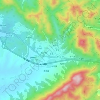
Name: 六塆 topographic map, elevation, terrain.
Location: 六塆, 龙东村, 南康区, 赣州市, 江西省, 中国 (25.50058 114.81284 25.54058 114.85284)
Average elevation: 265 m
Minimum elevation: 156 m
Maximum elevation: 501 m