
Thank you for supporting this site ❤️
Make a donation
Make a donation
Staggiano topographic map
Click on the map to display elevation.
Thank you for supporting this site ❤️
Make a donation
Make a donation
About this map
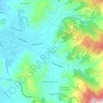
Name: Staggiano topographic map, elevation, terrain.
Location: Staggiano, Arezzo, Toscana, 52100, Italia (43.43439 11.89508 43.47439 11.93508)
Average elevation: 345 m
Minimum elevation: 252 m
Maximum elevation: 625 m
Thank you for supporting this site ❤️
Make a donation
Make a donation