
Thank you for supporting this site ❤️
Make a donation
Make a donation
Lac Désert topographic map
Click on the map to display elevation.
Thank you for supporting this site ❤️
Make a donation
Make a donation
About this map
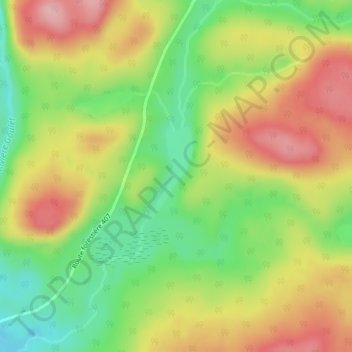
Name: Lac Désert topographic map, elevation, terrain.
Location: Lac Désert, Lac-Normand, Mékinac, Mauricie, Québec, Canada (47.45926 -73.74237 47.46684 -73.73670)
Average elevation: 451 m
Minimum elevation: 372 m
Maximum elevation: 532 m
Thank you for supporting this site ❤️
Make a donation
Make a donation
Other topographic maps
Click on a map to view its topography, its elevation and its terrain.