
Yeung Chau topographic map
Interactive map
Click on the map to display elevation.
About this map
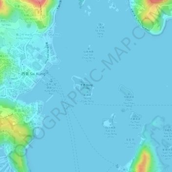
Name: Yeung Chau topographic map, elevation, terrain.
Location: Yeung Chau, Sai Kung, Sai Kung District, Hong Kong, PRC (22.37867 114.27930 22.38189 114.28294)
Average elevation: 9 m
Minimum elevation: -3 m
Maximum elevation: 103 m