
Thank you for supporting this site ❤️
Make a donation
Make a donation
Lavradas topographic map
Click on the map to display elevation.
Thank you for supporting this site ❤️
Make a donation
Make a donation
About this map
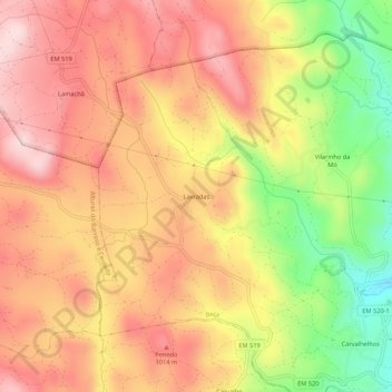
Name: Lavradas topographic map, elevation, terrain.
Location: Lavradas, Beça, Boticas, Vila Real, Portugal (41.68535 -7.77147 41.72535 -7.73147)
Average elevation: 930 m
Minimum elevation: 743 m
Maximum elevation: 1,054 m
Thank you for supporting this site ❤️
Make a donation
Make a donation