
Harvey topographic map
Interactive map
Click on the map to display elevation.
About this map
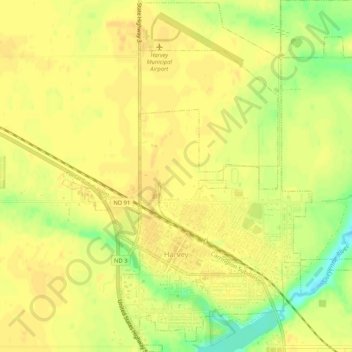
Name: Harvey topographic map, elevation, terrain.
Location: Harvey, Wells County, North Dakota, United States (47.75994 -99.95237 47.79508 -99.90554)
Average elevation: 486 m
Minimum elevation: 465 m
Maximum elevation: 492 m
Other topographic maps
Click on a map to view its topography, its elevation and its terrain.
Hamberg
United States > North Dakota > Wells County
Hamberg, Wells County, North Dakota, United States
Average elevation: 475 m