
Morehousetown topographic map
Interactive map
Click on the map to display elevation.
About this map
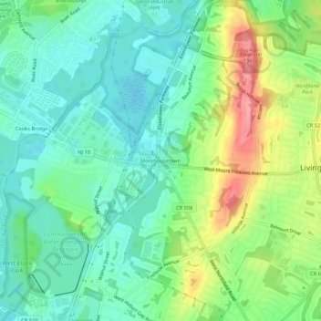
Name: Morehousetown topographic map, elevation, terrain.
Average elevation: 77 m
Minimum elevation: 47 m
Maximum elevation: 139 m
Other topographic maps
Click on a map to view its topography, its elevation and its terrain.
Livingston
United States > New Jersey > Essex County > Livingston
Livingston, Essex County, New Jersey, 07039, United States
Average elevation: 102 m