
Lowgap topographic map
Interactive map
Click on the map to display elevation.
About this map
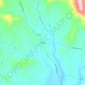
Name: Lowgap topographic map, elevation, terrain.
Location: Lowgap, Surry County, North Carolina, 27024, United States (36.50569 -80.88730 36.54569 -80.84730)
Average elevation: 457 m
Minimum elevation: 386 m
Maximum elevation: 755 m