
Cove Acres topographic map
Interactive map
Click on the map to display elevation.
About this map
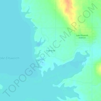
Name: Cove Acres topographic map, elevation, terrain.
Location: Cove Acres, Comanche County, Oklahoma, 73006, United States (34.81146 -98.35700 34.85146 -98.31700)
Average elevation: 381 m
Minimum elevation: 373 m
Maximum elevation: 411 m