
Taglait topographic map
Interactive map
Click on the map to display elevation.
About this map
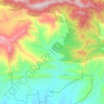
Name: Taglait topographic map, elevation, terrain.
Location: Taglait, Daïra Bordj Ghedir, Bordj Bou Arreridj, Algérie (35.76110 4.93377 35.85070 5.03912)
Average elevation: 1,231 m
Minimum elevation: 812 m
Maximum elevation: 1,874 m