
长武县 topographic map
Interactive map
Click on the map to display elevation.
About this map
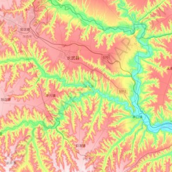
Name: 长武县 topographic map, elevation, terrain.
Location: 长武县, 咸阳市, 陕西省, 中国 (34.99428 107.64755 35.31313 107.96733)
Average elevation: 1,088 m
Minimum elevation: 835 m
Maximum elevation: 1,317 m
Other topographic maps
Click on a map to view its topography, its elevation and its terrain.