
Guerrouma topographic map
Interactive map
Click on the map to display elevation.
About this map
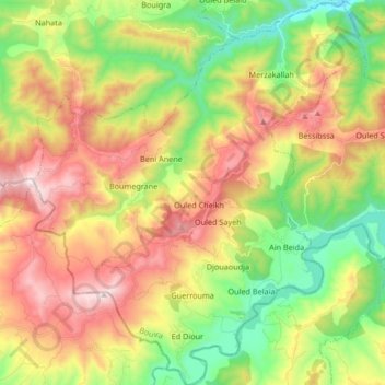
Name: Guerrouma topographic map, elevation, terrain.
Location: Guerrouma, Daïra Lakhdaria, Bouira, Algérie (36.40130 3.35906 36.53531 3.50252)
Average elevation: 607 m
Minimum elevation: 198 m
Maximum elevation: 1,119 m