
Maser topographic map
Interactive map
Click on the map to display elevation.
About this map
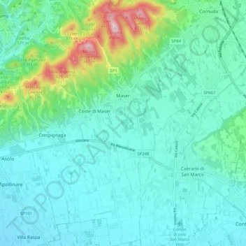
Name: Maser topographic map, elevation, terrain.
Location: Maser, Treviso, Veneto, Italia (45.76450 11.92580 45.83480 12.00221)
Average elevation: 159 m
Minimum elevation: 86 m
Maximum elevation: 475 m