
San Carlos topographic map
Interactive map
Click on the map to display elevation.
About this map
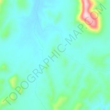
Name: San Carlos topographic map, elevation, terrain.
Location: San Carlos, Quiriego, Sonora, México (27.61750 -109.50933 27.65750 -109.46933)
Average elevation: 424 m
Minimum elevation: 367 m
Maximum elevation: 663 m