
Định Quán topographic map
Interactive map
Click on the map to display elevation.
About this map
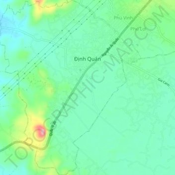
Name: Định Quán topographic map, elevation, terrain.
Location: Định Quán, Định Quán District, Đồng Nai Province, Vietnam (11.17116 107.33076 11.21280 107.36524)
Average elevation: 141 m
Minimum elevation: 104 m
Maximum elevation: 242 m