
Robey topographic map
Interactive map
Click on the map to display elevation.
About this map
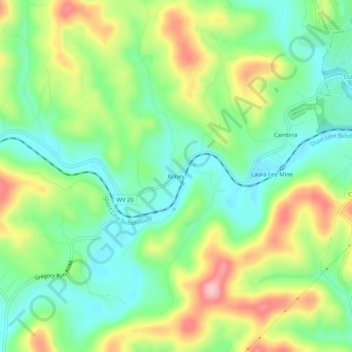
Name: Robey topographic map, elevation, terrain.
Location: Robey, Harrison County, West Virginia, 26386, USA (39.34259 -80.39620 39.38259 -80.35620)
Average elevation: 340 m
Minimum elevation: 272 m
Maximum elevation: 452 m